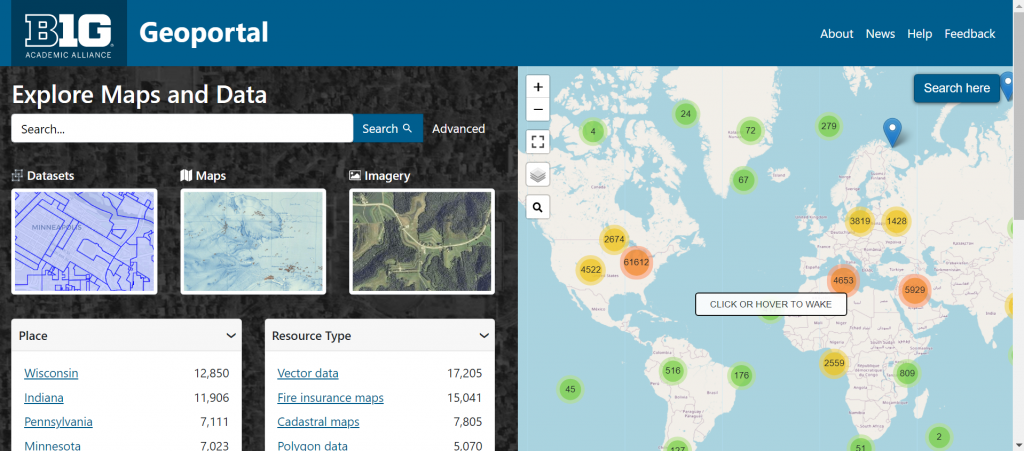
The Big Ten Academic Alliance (BTAA) Geoportal (https://geo.btaa.org/) is a valuable resource for anyone interested in geospatial data and geographic information systems (GIS). This online platform provides access to a wealth of spatial data collections from academic institutions across the BTAA, offering a one-stop shop for researchers, students, and professionals looking to explore everything from environmental patterns to Sanborn maps.

The BTAA Geospatial Information Network (BTAA GIN) is a collaborative project that aggregates geospatial data from various member universities of the BTAA. University of Nebraska-Lincoln joined this project in 2020, further enriching the platform’s data offerings. The Geoportal within this project allows users to search for, view, and download a wide range of geospatial datasets, including maps, satellite imagery, and other geographic resources. The data available on Geoportal covers a diverse array of topics such as agriculture, climate, transportation, and land use, making it an essential tool for anyone working with spatial information.
Accessing the BTAA Geoportal is straightforward. Users can visit the website https://geo.btaa.org/ and begin searching for datasets by entering keywords, browsing by subject, or filtering by geographic location. The platform’s user-friendly interface makes it easy to find and download the data you need for your research or projects.
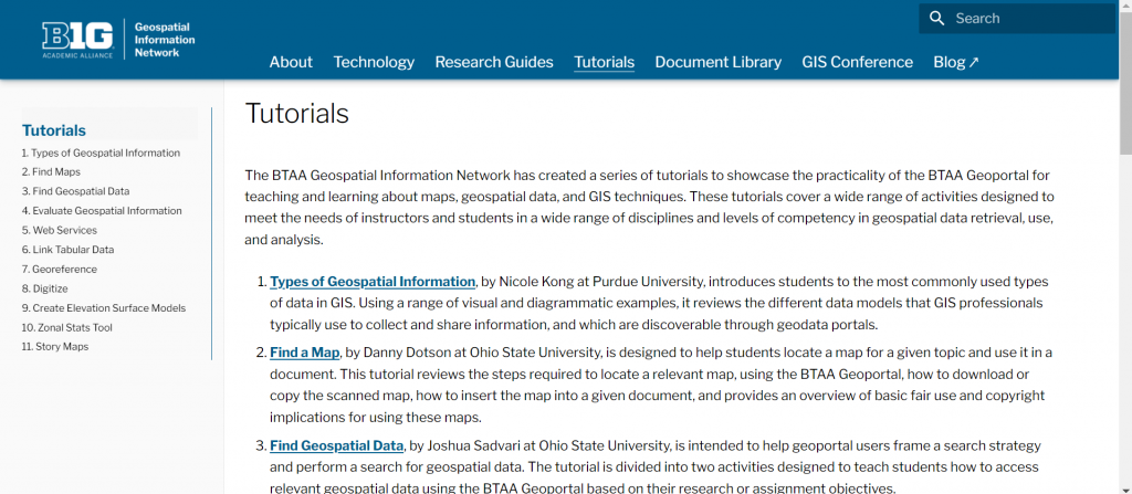
The BTAA Geoportal’s tutorial section also offers a wealth of learning resources: https://gin.btaa.org/tutorials/, designed to help users of all skill levels. Among the tutorials, the Find a Map and Find Geospatial Data tutorial provides a comprehensive overview of the platform, walking users through the basics of accessing and utilizing the vast array of geospatial data available. The Link Tabular Data to Geospatial Data, Georeference and Story Maps tutorials offer practical tips on how to incorporate GIN resources into academic research, making it an invaluable guide for educators and researchers alike. Additionally, these tutorials can also serve as valuable instructional materials for instructors, providing ready-to-use content for integrating geospatial data and GIS concepts into their classes.

In summary, the BTAA Geoportal is an indispensable resource for anyone working with geospatial data. Whether you’re a researcher studying land use patterns, a conservationist tracking biodiversity, or a historian exploring the state’s past, the Geoportal offers a wealth of information at your fingertips. By providing access to such a diverse array of datasets, the BTAA Geoportal not only supports academic research but also fosters a deeper understanding of the complex geographic and environmental systems that shape our world.
